44 Florida counties

Florida golf & fishing, from above

Every one of the 671 golf courses mapped in Florida, each with a real aerial generated from its own coordinates. 118 scorecards transcribed tee by tee from the club's own card, access and green fees checked course by course, and a fishing guide with every regulation figure sourced from FWC.

The directory is statewide. The deep research — fees, access, scorecards — starts in Southwest Florida and expands from there.

Start here

The whole state, and the fishing

Where the research runs deep

Regions we've worked course by course

The statewide directory gives every course a page. These two regions have had the slower work done on them — access read off each club's own site, green fees checked and labelled with where they came from, scorecards transcribed tee by tee.

How this guide is made

Documented, not decorated

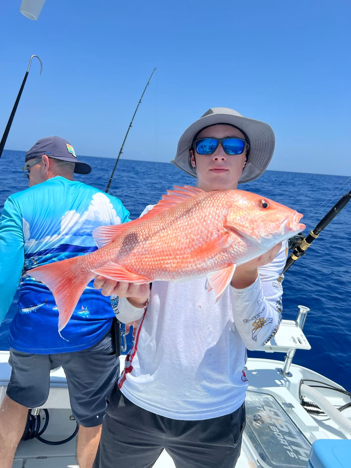
Every aerial image is generated from the course's own coordinates, so the aerial you see is that course. Golf pages also carry general golf photography for scenery; each one is captioned as stock and names the course it is not a picture of. Fishing photographs are our own, taken here, dated from the file's own EXIF. Every fishing regulation figure is pulled from FWC and date-stamped. Scorecards are transcribed from the card the course itself publishes, tee by tee, and where a course publishes no card we say so instead of borrowing numbers from a directory that may have them wrong.

Green fees work the same way. A rate we read on the course's own website says so; a rate that came from a booking site is labelled unverified per course website and links to wherever we got it. We would rather show you a ballpark with its provenance attached than an empty field or a confident guess.